Services

WMRGISC offers a wide range of geographic and geospatial services, including but not limited to:

  • Digital cartographic mapping and data digitization using Esri’s ArcGIS Pro, ArcGIS Online, and more
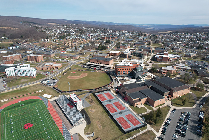
  • Drone footage and aerial photography
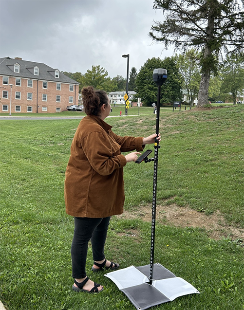
  • Remote sensing capabilities including:
    • Drone-mounted or handheld LiDAR scanning
    • Thermal imaging
    • Photogrammetric data
    • Ground penetrating radar for locating underground objects (up 100 ft)
  • Historic research on the Western Maryland region and the larger Chesapeake Bay Watershed
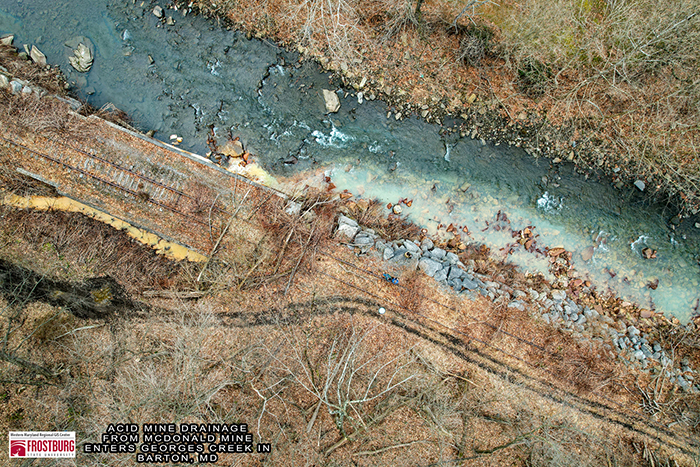
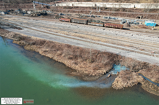
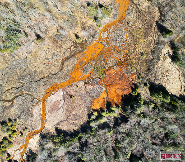
  • Environmental assessments, field work, sampling, and more

Previous Projects

ariel of FSU campus
Aerial shot of Frostbrug State's campus. Taken by Jason Litten on the DJI Air2S.

land with stream
Drone footage showing evidence of acid mine drainage leaching into George’s Creek.

land
Coal mine pollution discharges into Potomac River near Luke, MD.

Land
Acid mine drainage from the Kempton Mine Complex drains into Laurel Run wetlands north of Kempton, MD.


Contact

Western Maryland Regional GIS Center
Lewis J. Ort Library Room 210
1 Susan Eisel Drive
Frostburg,  MD 21532
301-687-4229
WMRGISC@frostburg.edu
Instagram logo Follow us on Facebook
Instagram logo Follow us on Instagram

student surveying on FSU campus
Caption: Staff member Antonia Zais using an EMLID GNSS receiver.