Western Maryland Regional GIS Center
The Western Maryland Regional GIS Center (WMRGISC) is a fully grant-funded office that facilitates and supports the research and experiential learning activities of geographic information systems, remote sensing, geospatial data visualization, and geospatial data management for FSU and the surrounding Western Maryland region.
Founded in 1995 by William Nizinski and Dr. Craig Caupp of the Geography Department, the Western Maryland Regional GIS Center was established to pursue grants and contracts related to GIS and environmental issues in Maryland. In the past 30 years, WMRGISC has collaborated with a variety of clients and partners, including Maryland Department of Natural Resources, Maryland Bureau of Mines, Potomac Riverkeeper Network, and many more. WMRGISC continues to provide its services to Maryland DNR’s Power Plant Research Program (PPRP) to research Western Maryland coal mining and maintain an inventory of its impacts on the state and the greater Chesapeake Bay Watershed.
In 2024, WMRGISC was awarded a $500,000 grant from the Appalachian Regional Commission (ARC) to enhance Western Maryland’s access to modern GIS technology and support the local Appalachian workforce. This includes updating office facilities and technology, facilitating GIS experiences and learning for students, and collaborating with local governments, educational institutions, and environmental organizations. We aim to utilize these funds to both support the enrichment of the student experiences in the Geography Department and to increase the public’s access to geospatial data and technologies.
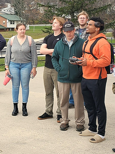
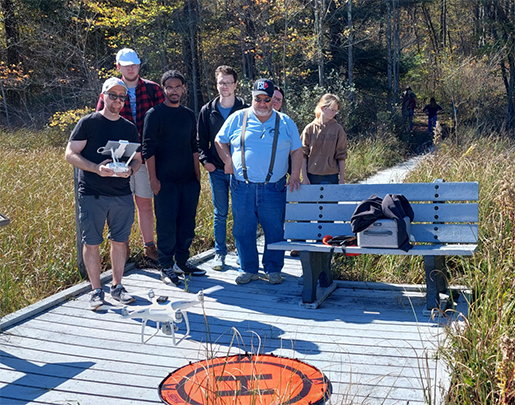 Dr. William Wetherholt (left) launches a drone as Instructor Adam Lewis (right) brings his geography students on a field trip to Cranesville Swamp Preserve. |